
Stop 20 of 33
Butt Well
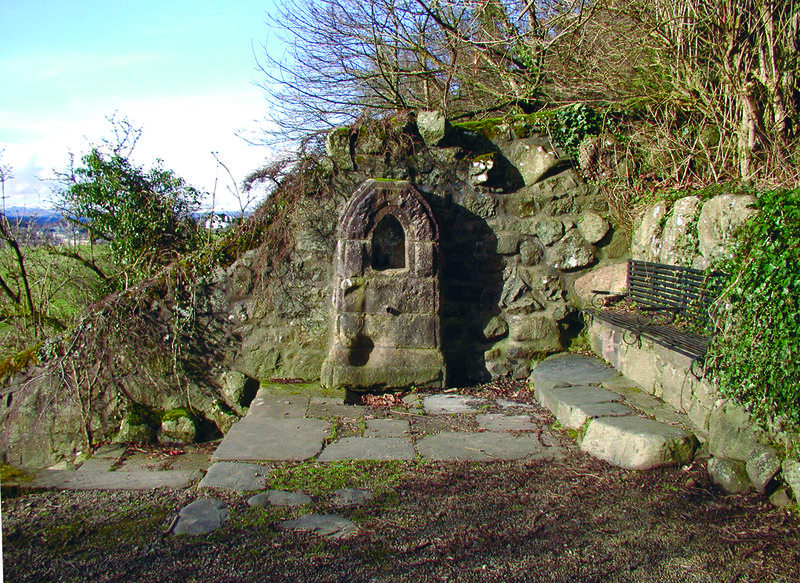
It is believed this ancient well takes its name from proximity to archery targets in the lower slopes of the Park. The natural spring which serviced this well descends from the castle rock above. The wall behind the well formed part of the Kings Dyke, which marked a boundary and barrier to keep grazing animals out of the Royal gardens. This well was probably used during royal occupation of the castle both by the local population and for watering horses used for hunting or jousting and stabled nearby. The old wall where this well is located has been altered at some point and reformed with an ornamental stone front around the water spout. The Butt Well provided a source of public drinking water over many years and was in use until around the 1950s, when it was apparently found to be infected and sealed off.
The field below the path to Ballengeich was the Butt Park — James IV and James V's royal jousting ground in the 1500s.
The "Guidman of Ballengeich" was a name given to James V (1512–1542), who would dress as a farmer and visit areas around his various palaces in search of adventure and to hear what his subjects thought of him.
From the Butt Well, descend the steps into The Haining. Note: these paths may be muddy in parts depending on weather conditions.
Know more about this place, or have a photograph or memory of it to share? Tell us →